
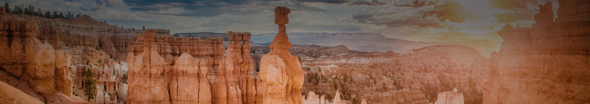
Both beginner and experienced hiking enthusiasts love visiting the many national and state parks in Southern Utah. With spectacular views of red rock formations, mountain arches, deep canyons, and twisting rivers, there is so much to see and experience! With about 50 miles of hiking trails, Bryce Canyon is one of the smaller parks in the area, but these trails are just as beautiful as those in the larger, busier parks. Here are a few of the best hikes in Bryce Canyon National Park, ranked from easiest to hardest:
1. Sunset Point to Sunrise Point Trail
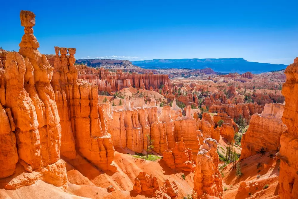
Probably the most iconic points in Bryce Canyon are Sunset Point and Sunrise Point. As you walk along the rim of the Bryce Canyon Amphitheater, you will be able to admire the view of the hoodoos below. Hoodoos are tall shafts of rock rising from the basin of the canyon. This 1-mile portion of The Rim Trail that connects the two overlooks is paved and pet-friendly, making it an easy, popular hike for families with children and dogs. Shuttle services, water-fill stations, and restrooms are available.
2. Bristlecone Loop Trail
Another easy, 1-mile hike in this national park near St. George, Utah is the Bristlecone Loop Trail. Rainbow Point is the trailhead location, where you will then walk through a beautiful fir and spruce forest overlooking vistas and eventually leading you to the Four Corners Area. You can expect to see lots of wildlife, a perfect trail for avid birdwatchers! The Park’s shuttle services are not available on this trail, but there may be a commercial tour available. Restrooms are open seasonally.
3. Queen’s/Navajo Combination Loop
By far, the most popular hike in Bryce Canyon National Park is the Queen’s/Navajo Combination Loop. A moderate, nearly 3-mile hike, it will take between 2 and 3 hours to complete and takes you on both the Queen’s Garden Trail and the Navajo Loop Trail. It’s a great way to see as much as possible in the shortest amount of time. It’s recommended to do the loop clockwise (beginning from Sunset Point) for the best viewing experience and since the descent at Queen’s Garden is less steep. Shuttle services, water-fill stations, and restrooms are available as well.
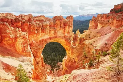
4. Tower Bridge
Tower Bridge is another moderate hike in Bryce Canyon that features a portion of the longer hike Fairyland Loop Trail. It’s an out-and-back hike with restrooms and shuttle services available near the trailhead just north of Sunrise Point. The Tower Bridge hoodoo is visible at the end of a short spur trail, where you can either turn back to return to the trailhead or continue on the Fairyland Loop for a longer, more strenuous hike.
5. Hat Shop Trail
A strenuous, 4-mile out-and-back hike we recommend is the Hat Shop Trail. You’ll find the trailhead for this hike at Bryce Point. From there, you will take the Under the Rim Trail, where you will be able to see the Grand Staircase and large orangish-colored hoodoos with “hats” made of grey boulders, hence the name Hat Shop Trail. Shuttle services are available; however, there are no restrooms.
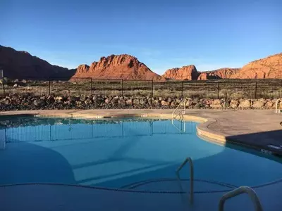
We hope you will check out at least one of these hikes in Bryce Canyon National Park during your trip! Are you unsure where to stay when visiting Bryce Canyon National Park? Here at Red Rock Vacation Rentals, we offer beautiful vacation homes with family-friendly amenities, affordable prices, and unbeatable customer service. Take a look at a few of the top places to stay near Bryce Canyon!